Staying In Shape for the Trail?

People often ask me how I prepare for the trail. The short answer is, I don’t. If you don’t prepare for a long walk, you suffer, but only for the first week. My walks in Europe are generally 4-6 weeks long. However, I walk here twice a week to stay in shape. On this post I’m going to show you photos from what I call The Seven Summits: the seven high points in Enchanted Rock State Natural Area (ERSNA). The Summits in this post aren’t in order, and I usually hike only two or three on a visit. The Seven Summits all together are a hard walk which I’ve only done three times.

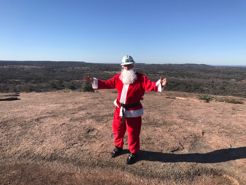
You never know who you are going to meet on top of The Rock.
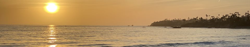
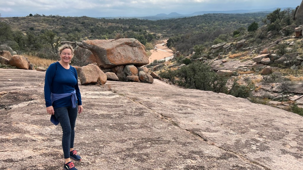
Enchanted Rock is 17 miles north of Fredericksburg. This photo is from Little Rock with Enchanted Rock in the background. I met this cute Belgian girl 4 years ago in France. We walked trails together in France and Italy in 2018, 2019, 2021, and 2022. This October we visited the Grand Canyon and other amazing parts of the American West in October. Her name is Josette, and we communicate in French.
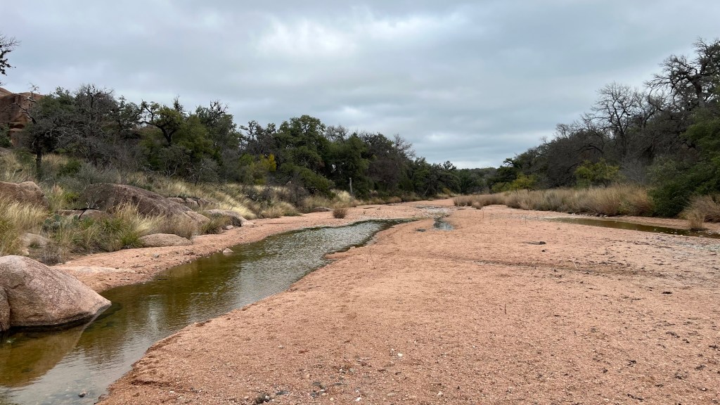
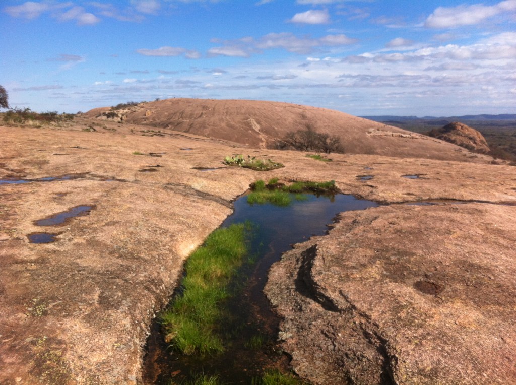
This is Sandy Creek in ERSNA. The deep sand isn’t easy walking, and it gets in my shoes. There is no trail to Flagpole (High Point #7), so we walk the creek almost to the northeast park boundary. Flagpole is the high point on the top right of the map.
This is Lorrie, one of my hiking companions, on top of Flagpole. The park boundary runs over the top of this seldom-visited high point. Lorrie is an avid long distance backpacker and was the 300th woman over 50 to through-hike the Appalachian Trail. She is tough as nails and has to slow down to walk with me. Even she is challenged by the steep ups and downs of this hike.
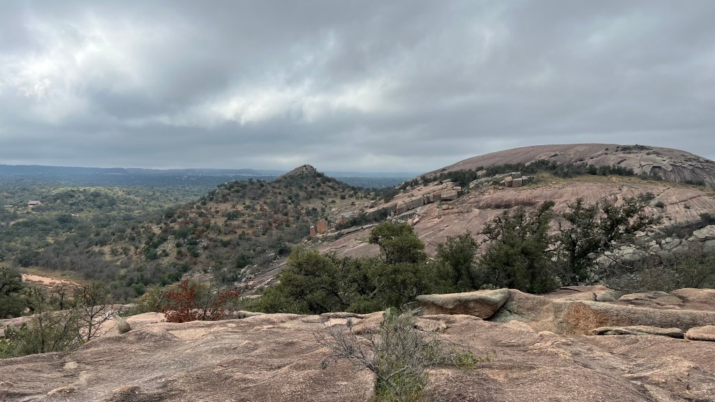
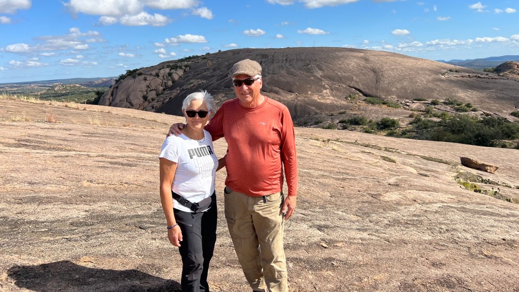
On the far left is Freshman Mountain (foreground, left, High Point #5) , then Turkey Peak, and on the right is Enchanted Rock Dome. The photo is taken from Buzzard’s Roost (High Point #6). I had never been on the very top of this high point before because I didn’t see the route. Lorrie found it.
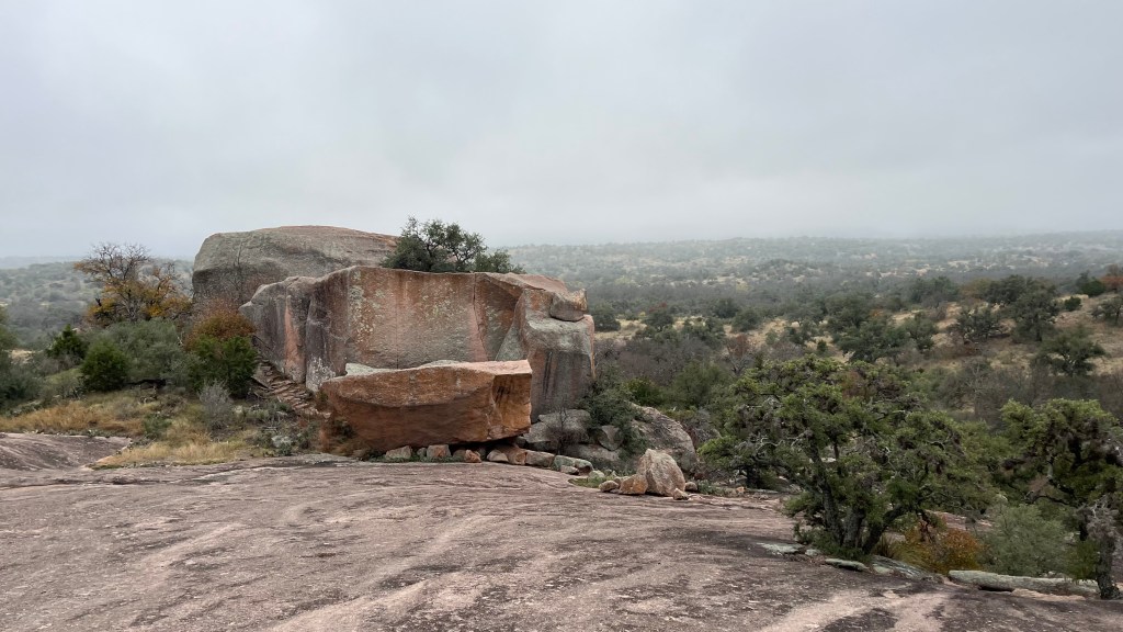
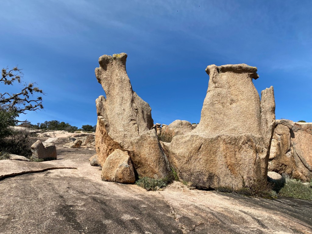
These are Carnivore Boulders. One of my climbing friends, James, says they are named so because “they will eat you alive.” This is part way up West Little Rock (High Point #1). The park staff call West Little Rock “No Name Rock.” I beg to differ.

I don’t know what anyone else calls this, but its Kissing Rocks. They are near the top of Turkey Canyon on your way up Turkey Peak.
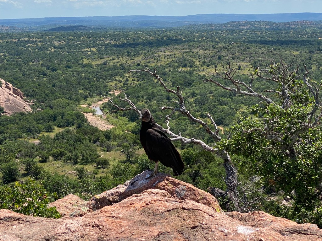
Black Vulture on top of Turkey Peak. High Point #4. This is not hard but it is steep, and a nice little summit. This bird landed without regard to me, and this is the closest I’ve been to a vulture. My Enchanted Rock Red novel has a Turkey vulture named Clairice as a character.
Little Rock (High Point #2) looking to Enchanted Rock Dome (High Point #3). You can see Turkey Peak on the right. I used this photo for the cover of my first novel, Enchanted Rock Red. I see the book has a 4 1/2 star rating on Amazon!
This very steep climb up Little Rock can be accessed from the Interpretative Loop on the horseshoe parking lot. I go up this when I don’t have a lot of time and want to get my heartbeat up. It works!

I’ll be in Belgium for a while with Josette, then walking in Italy most of May. I also plan to return to the Isle of Man in September. In the middle of that I hope to make a trail in both Crete and Spain. When I’m home I love taking people to Enchanted Rock. If you are interested in walking any of these trails, come on!
See you down the trail.
Robert Deming

Splendid post Robert… I love your photos.. Tu parles francais? je ne savais pas… alors c’est fantastique. A toi et Josette je souhaite un tres bon Noel. Bisous de Vancouver sous la neige. x
Je parle assez français pour avoir une copine en Belgique !