I’m writing a series on substack

https://open.substack.com/pub/robertdeming/p/cold-war-flying-stories-953?r=ejkiw&utm_medium=ios
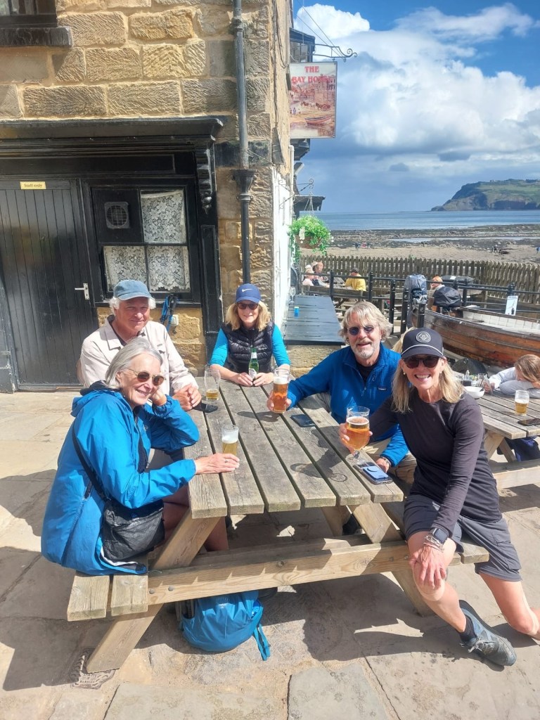
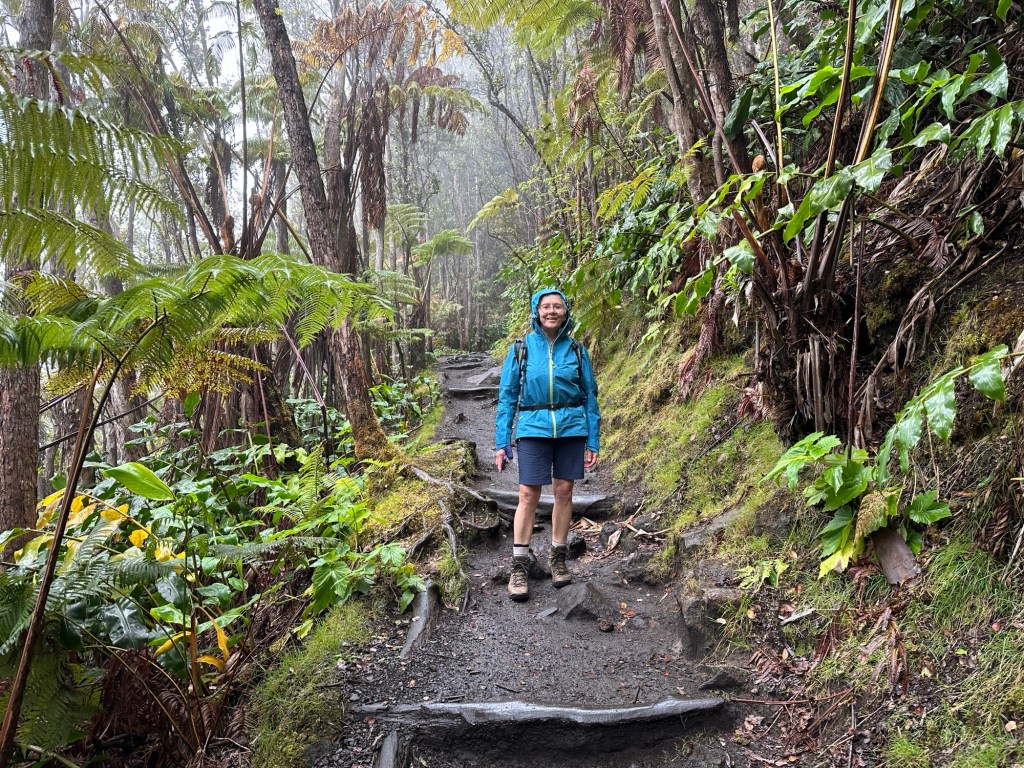
I’ve done several Camino’s in Spain, but not the northern routes (Del Norte and Primitivo). A trail friend tempted me to walk Primitivo beginning October 1st.
It is typical of other routes in Spain in many ways; you will meet people from all over the world. Most pilgrims seemed to be from the Netherlands and spoke English. I detected no one with spiritual or religious intentions; hiking in nature was the top objective.

There were a lot of pilgrims, although it never felt crowded. Many albergues were full and it seemed necessary to call or book ahead for beds, although only one day ahead. This was particularly true as you neared the Hospitales Route split in the trail.
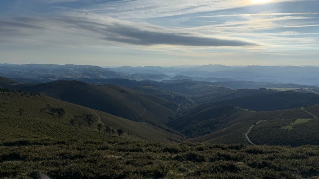
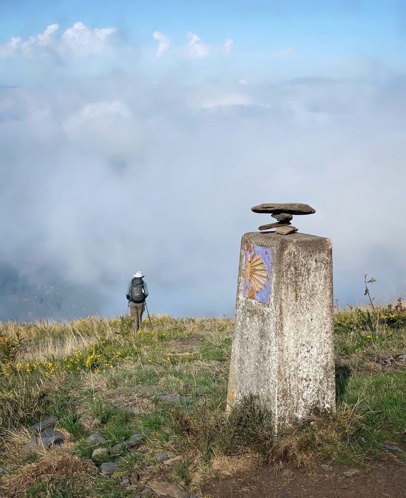
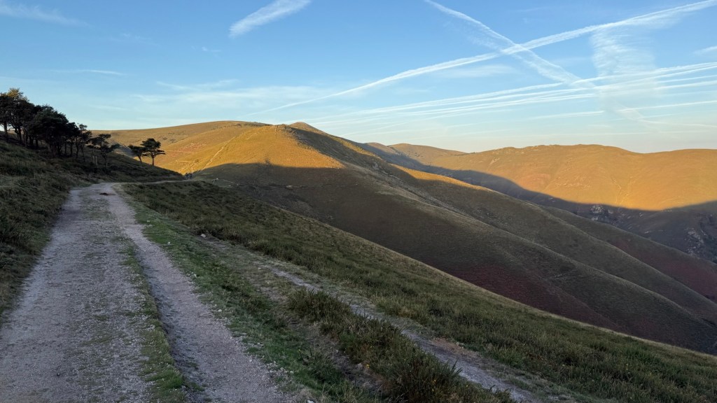
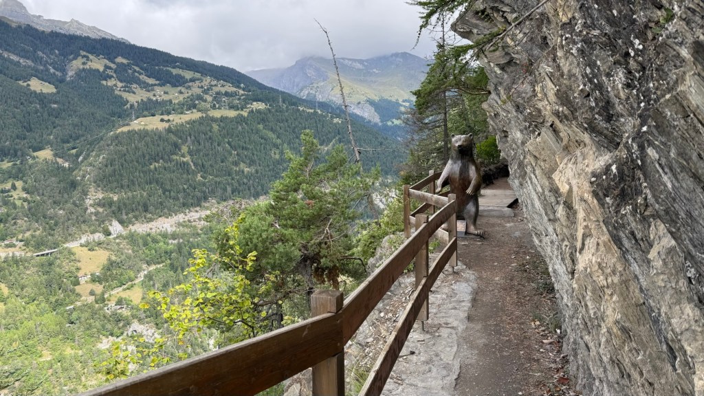
This ancient trail is wild and wooly and would be a challenge (or risky) in bad weather. It’s 21 km without any villages or services, up and over tall round grassy mountain tops.
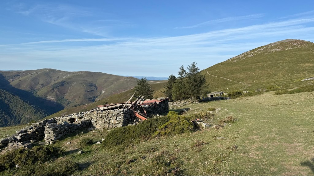
Then after all the steep up’s all morning there is a terrible steep down in a ravine. It is one step at a time. When we reached the Albergue at Berducedo were both exhausted. Normally, it was just me who was exhausted, but Rachel took to her bed for a few hours of recovery.
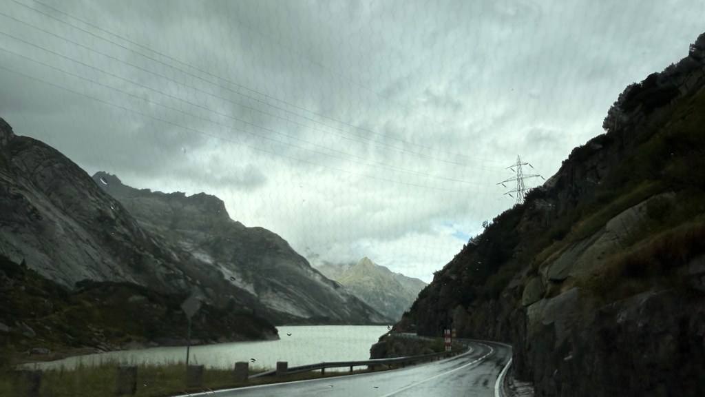
The trail was generally good and took you through tiny villages and farms and herds of cows. The yellow arrows and monuments were everywhere. There was a second huge down the day after Hospitales but it turned out to be a gravel road, not steep or difficult footing, down to a reservoir.
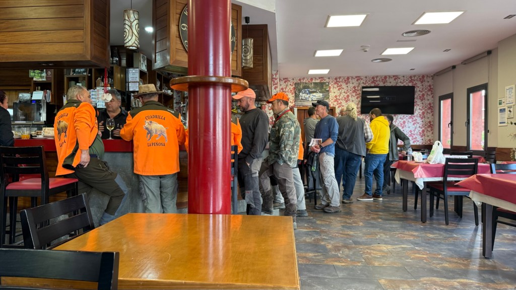
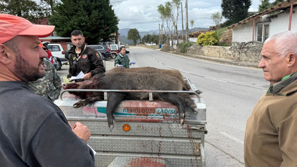
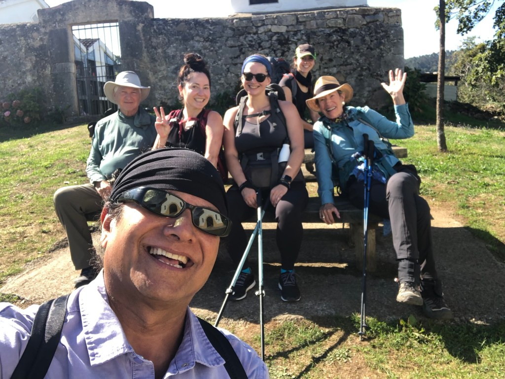
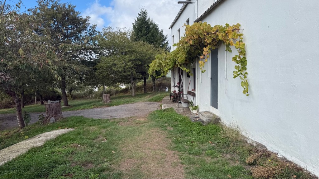
We interacted more with locals on this trip, as there is a local economy outside of the Camino. People were all friendly and helpful and many greeted us in the villages.
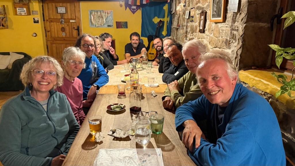
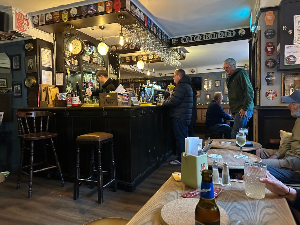
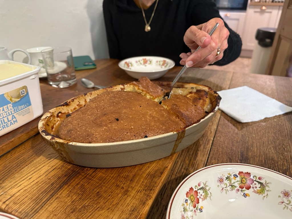
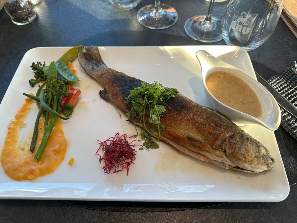
We had some excellent pilgrim meals, which are of necessity sparse: salad with garlic soup, garbanzo bean soup, and always bread. Lunch was bread, cheese, and “ham”. Albergues are high energy places, full of enthusiastic people from 18 to 78 speaking languages from the world. Sleeping in bunk beds in mixed dorms.
We ate at restaurants too: my last night we had an outstanding meal of padron peppers, pulpo, and caldo Gallego.

I decided to leave the trail at ten days in; I was exhausted, and another week of walking wasn’t appealing. I have the sense this may be my last Camino. My fabulous hiking partner, Rachel, has a partner who would be joining us then, and it seemed like an appropriate time. Then two days before, I caught a cold. Walking on cold meds is possible but you need to have someone lead the way. I am extremely grateful for Rachel’s companionship and leadership on this Camino.
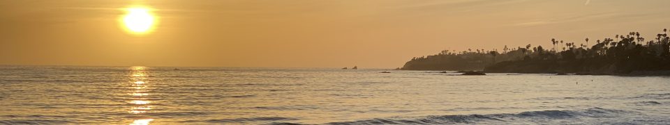
This Camino is more physical in the first half as you go up into the mountains, but eases up. We started in Oviedo on October 1st, and the weather was generally good for walking.
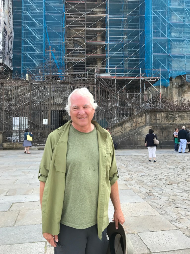
When I left for Spain on the first of May, 2017, I had no idea how much my life was about to change. I’ve been blessed with amazing friends and I’ve survived the adventures, too. I’ve walked Camino’s in Spain, France (80 days total), Portugal, 35 days total. I’ve walked into Santiago four times.
I’ve also walked the St FrancisWay -Florence-Assisi-Rome (28 days), Italy Coast 2 Coast (18 days), England Coast to Coast Path (16 days), West Highland Way (8 days), Triskelion Pilgrimage on the Isle of Man (4 days,twice!), the Robert Louis Stevenson Way in southern France, (15 days); 10 days on the Via Francigena in Italy, 6 on the European Peace Walk, 21 days on the California Mission Trail. How did I pull this off?
The End?
I’m writing a collection of walking stories, and my next focus will be getting it done. Many of the stories are from the Camino, but the first is my Marathon at age 12. The title is “Always Pee Before the Village.”
See you down the road.
Robert
We just spent two weeks camping and hiking in Switzerland; I’ll give you some impressions. We had an advantage, in that we spent four days with Swiss friends and got their opinions on places to visit. We also ate well at their home, including a traditional raclette. We were able to find interesting and beautiful places.

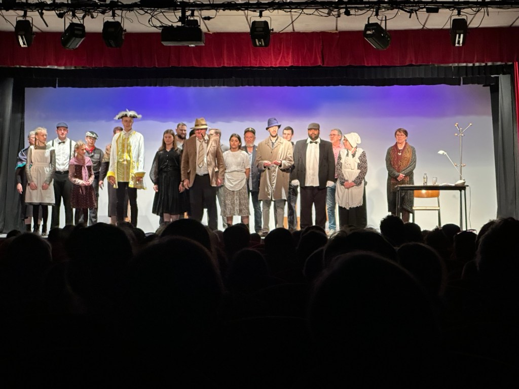
We attended two community theater performances, this one in Yverdon-les-Bains; the presentations were in French, which I didn’t completely understand. Too many words and too fast for me to understand more than about half. But, its live performance, and that adds energy to your life regardless.
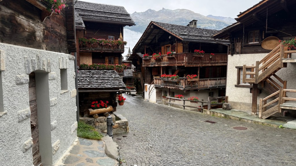
We did a day trip from Sion to a mountain village called Grimentz. Although touristic, it was small and cute and we ate lunch in a small restaurant.

The Main Street though old Grimentz was well interpreted throughout.
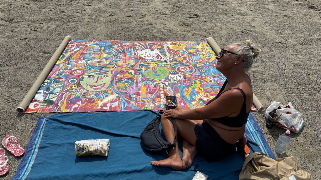
We ran accross an artist painting on a beach on the lake by Lausanne. Josette had a long conversation with her and she gave us a book of her paintings. They are bright and uplifting and perhaps one day we will have something of hers on the wall. This painting is 5 meters long and has taken her most of the summer.

This is the Saturday market in Yverdon-les-Bains. Its the real deal, on a pedestrian-only street downtown, and what a fun place to hang out. Our friend knows this vendor and they had a long conversation. We saw lots of fruit orchards, and these are freshly harvested. There are also lots of interesting shops for random wandering shopping experiences.
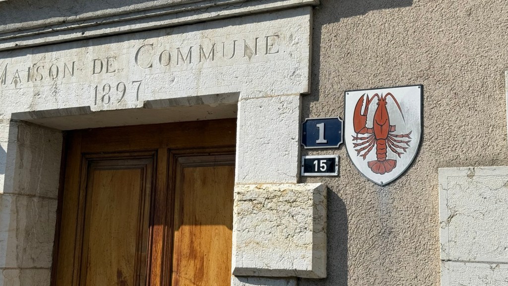
We went to visit a friend who is an armorer and saw his final part of a restoration of a suit of armor from the 1500s. I asked about the symbol of village his workshop is in, a lobster missing its right claw. He didn’t know the origin, but ChatGPT did: the town was split into two and one side kept the lobster and the other the right claw.
One morning we drove the switchbacks up to parking (free!) for Torrent-Neuf.

The beginning is a 500 meter walk to a cafe where the trail begins, where you can fortify yourself with coffee. A bottle of local white wine is also available for 20 CHF if you need more fortification.

We walked along the irrigation ditches -bisses-built beginning in 1410 and spanning 4 kilometers. Some of them are wood troughs hanging off cliffs, some are dug into cliffs. There four passareles (suspension bridges) on this route. There is lots of good interpretation of the history, too. You may be surprised that the hundred year old photos show many women working alongside the men.


We camped 5 km short of Zermatt and took a shuttle to the town (you can’t drive in the town). It’s all hotels and restaurants and shopping and is pedestrian and bicycle only, with some exceptions- small electric taxi-vans.

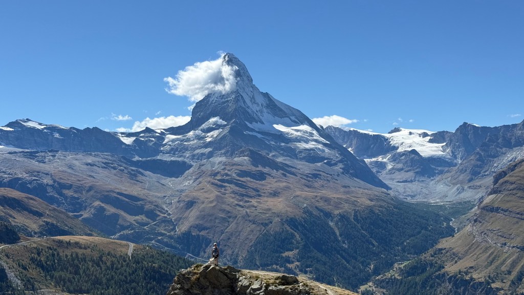
We took a cable car up the mountain $65 each) and did some hiking. The highlight was the perfect view of the Matterhorn.

We met two groups of Americans hiking up there. It’s easy to spot Americans by clothing and their accent. Many people were speaking English up there, but Americans stand out.

There was a point in my life when I could have climbed this peak, but I had neither the money nor the time. That time is past.

There is a large downtown for tourists. We hated it. Too many Americans! on the plus side, there are very modern public toilets (free!) and the Matterhorn. I suggested that we get an ice cream; Josette said she would rather have ice cream with the happy woman at the campground. We found our way back to the pickup point for the 5 PM shuttle, but just barely. I told the happy woman what Josette said and she said the ice cream was “offert” for us and told the cashier not to charge us.
This bus with 19 passengers camped near us by Zermatt, too. It is a traveling hotel. Each of those small windows is a sleeping berth. Seating is up front, meals are cooked and in good weather served outside. They use the campground bathrooms (which were quite nice). They are on a two week tour of Switzerland. it looked like a fun group. https://en.m.wikipedia.org/wiki/Rotel_Tours

We spent a lot of time driving up and over mountains on well built but narrow roads. There is usually a hotel, bar, and restaurant at the top.

We spent four nights in Sion. This bisse trail begins at the city limits and follows a bisse for 10 kilometers. We walked two kilometers to a winery where tastings and meals were available. We didn’t partake (Josette doesn’t care for wine, and then there is the money issue.) it works be a great way to spend a lazy day, but we had already been up the mountain to walk Torrente-Neuf.

Sion had a huge event downtown- a mountain bike race. It was an energetic place, and I was surprised that I loved it.
We camped and did most of our own cooking, and it was still expensive. RV parks are $75 per night and restaurants and even grocery stores pricey.
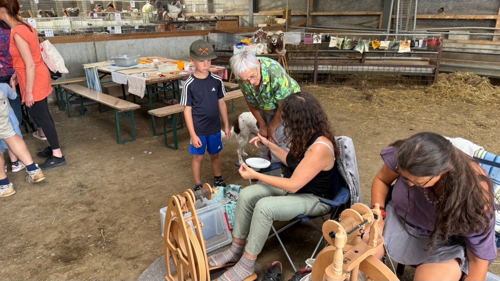
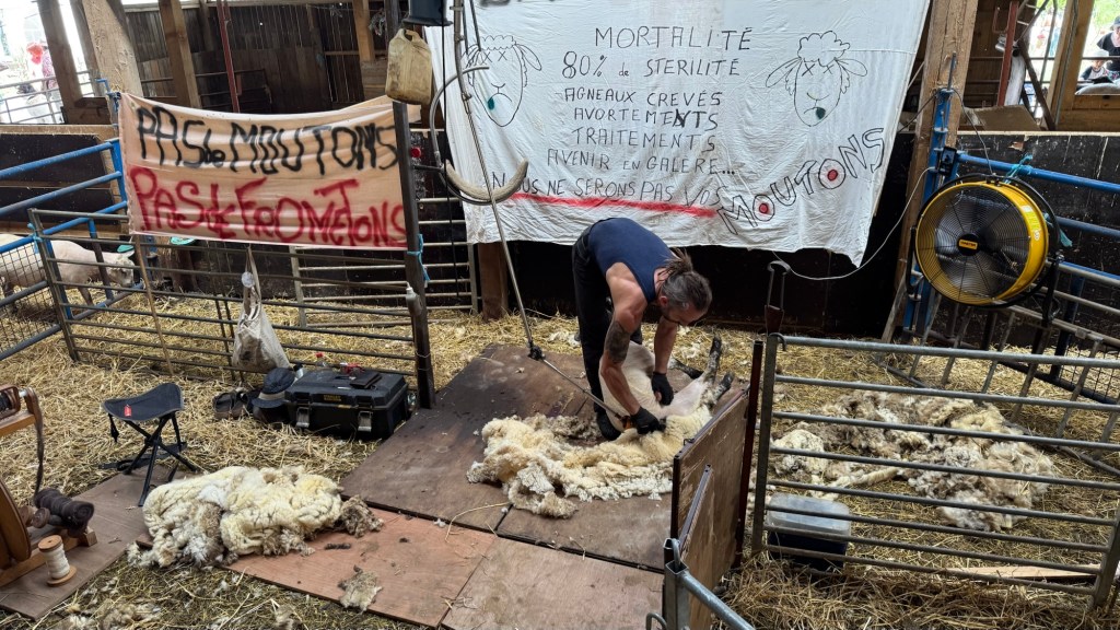
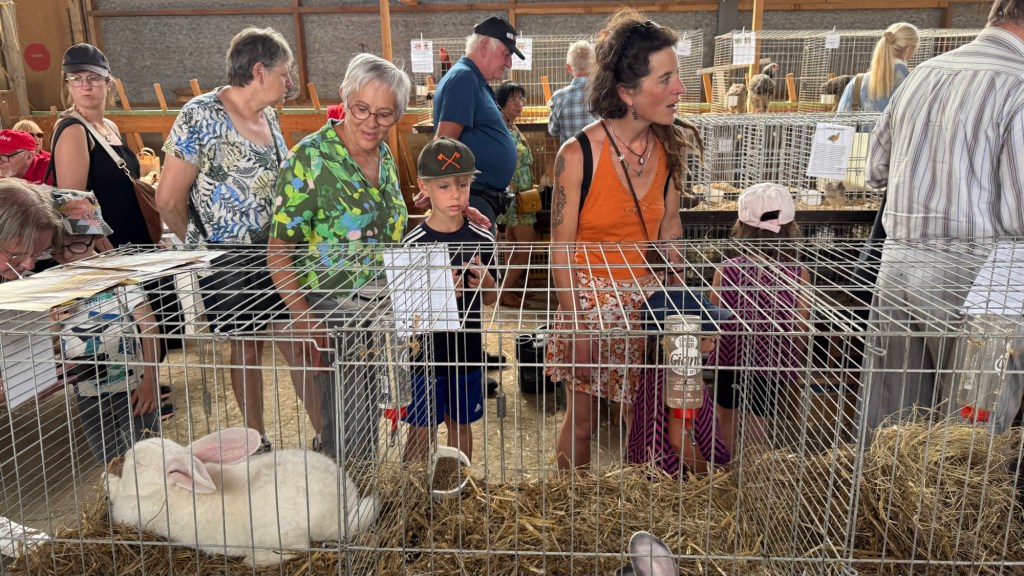
Think of it like this: the Texas State Fair meets Llano Earth Art Fest. In the nearby town of Libramont there is an enormous agricultural fair, (20 Euro admission). A couple of villages over, near Tournay, is Le Petite Foir Paysenne, the Small Farmer’s Fair (free, by donation). Most of Belgium is agricultural land, rolling hills and forests; today we have a green landscape with puffy white clouds and a 75 degrees.

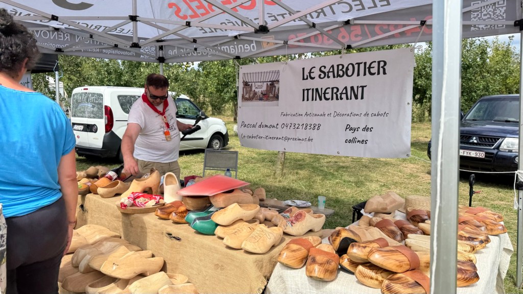
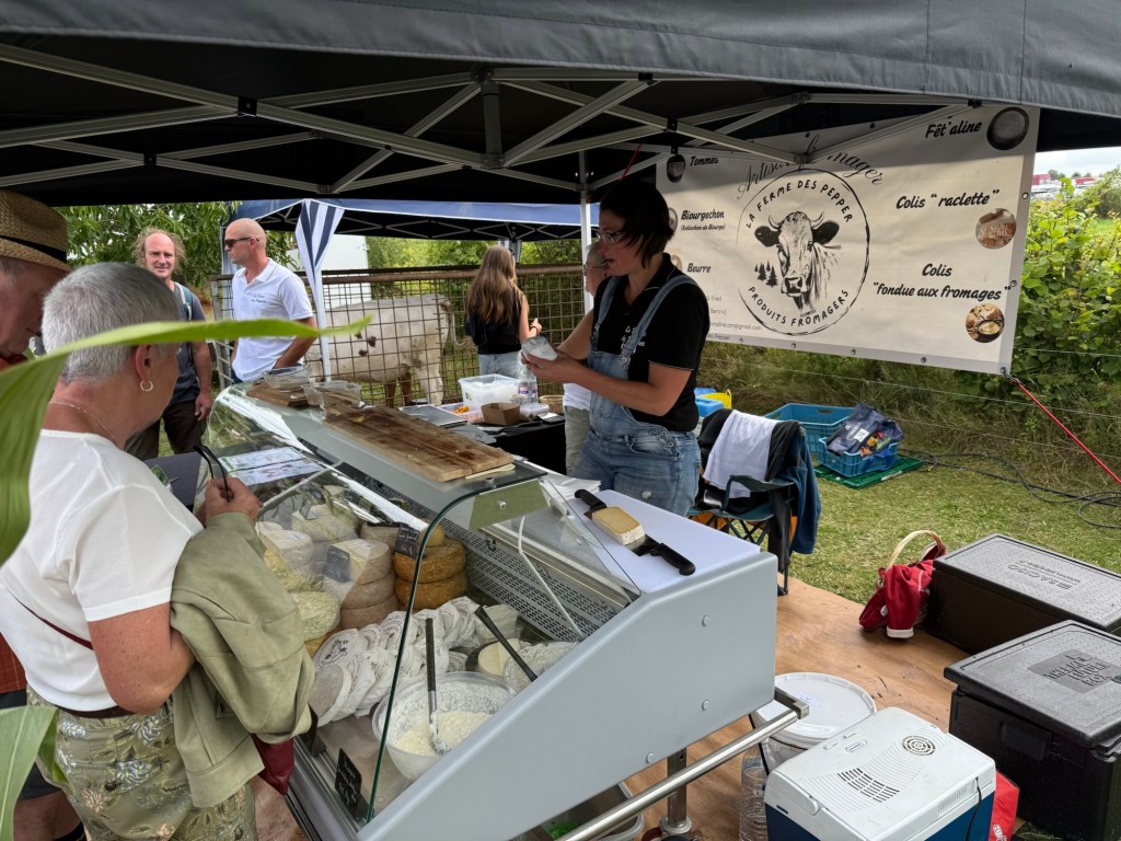
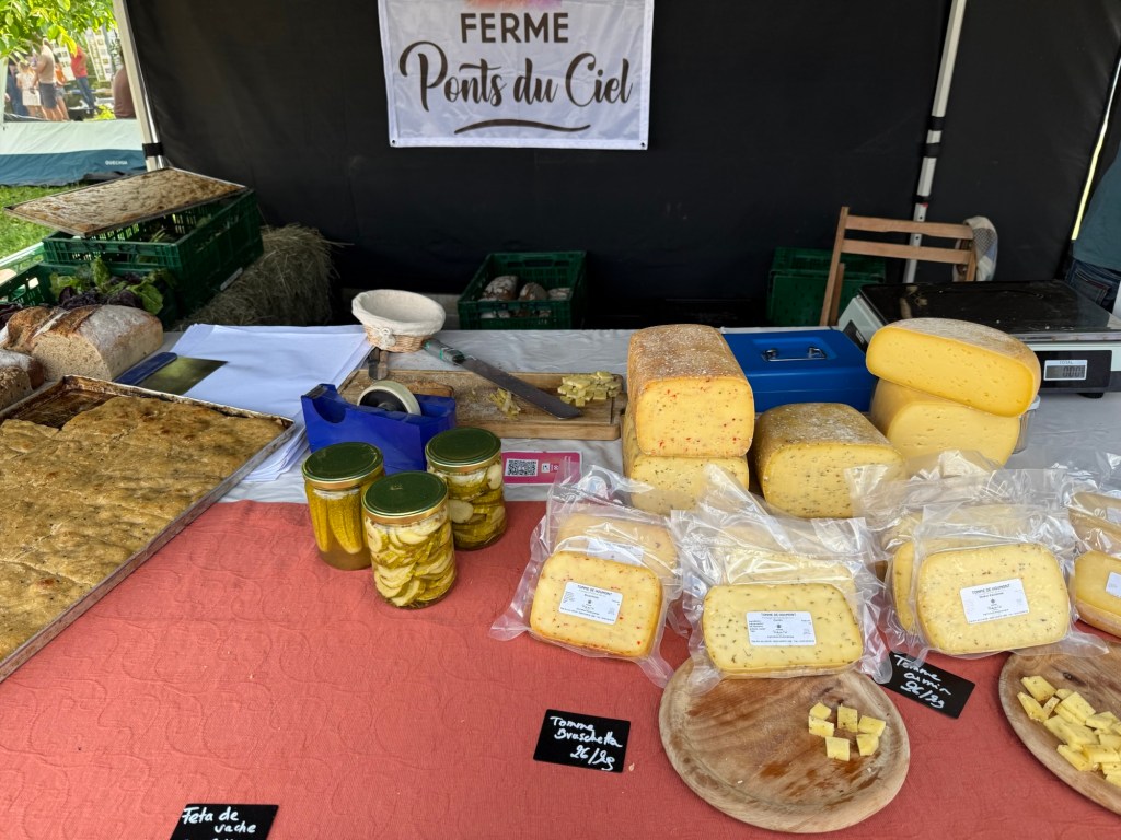
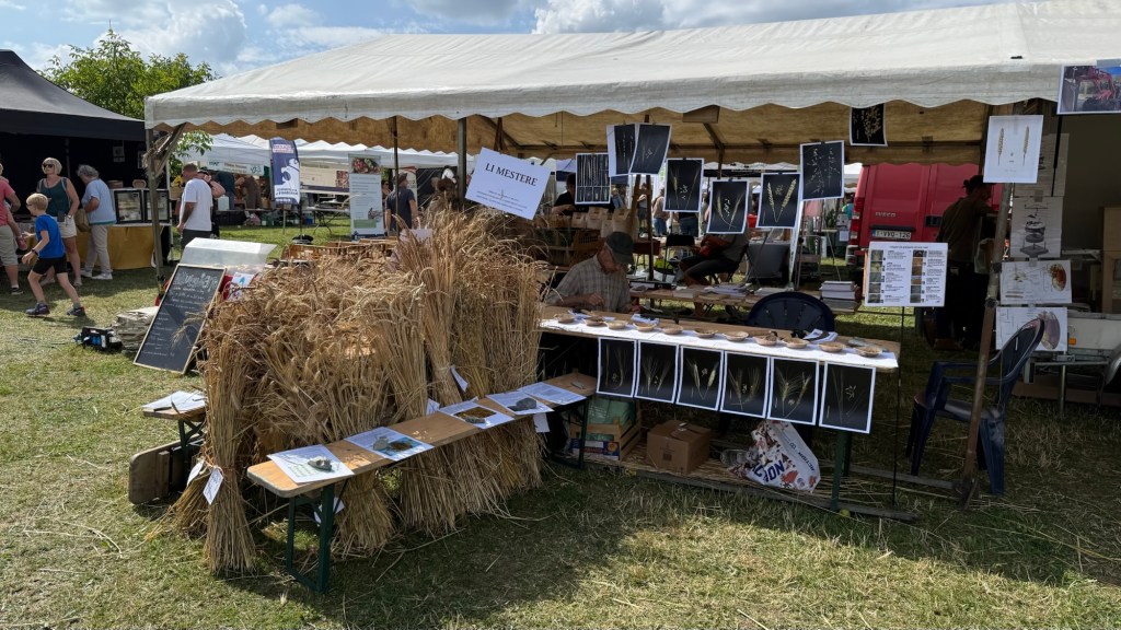
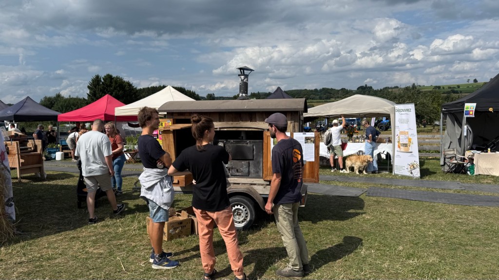
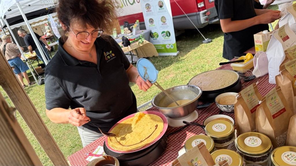

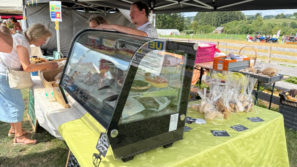


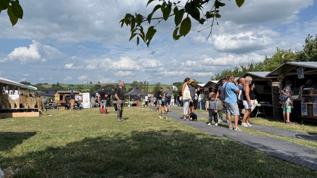
Should you attend a fair like this: come hungry, bring grocery bags or a small wagon, and lots of cash.


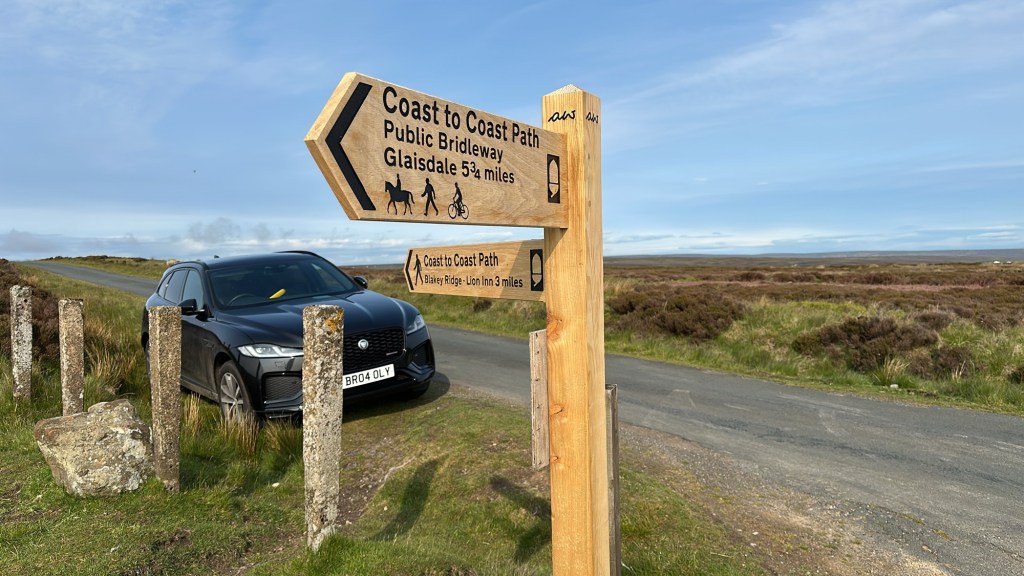
Beginning to end, you will be smelling and sidestepping sheep dung all the way to Robin Hood’s Bay.

Westerly winds. If a gust comes from any other direction it may knock you off the path. Few people walk the trail east to west for this reason. For us the strongest winds were in the Dales.

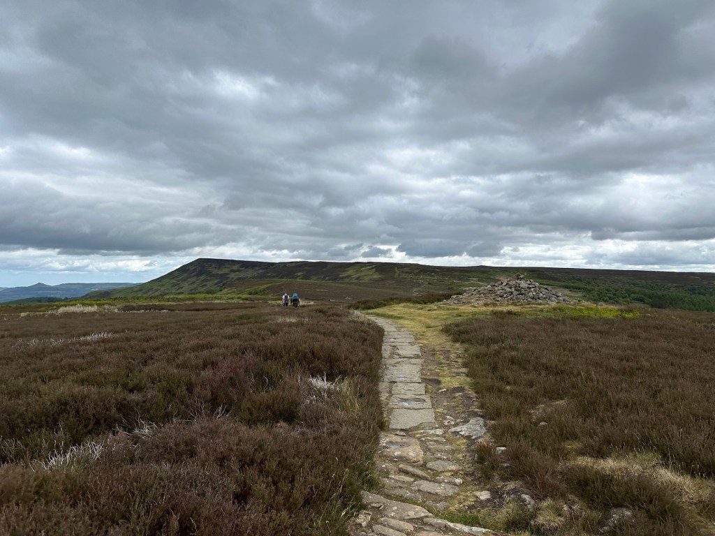
Most days are spent on long uphill sections. In the mountains, trails are limestone with lots of loose rock and big step ups, and you must watch where you put your feet.
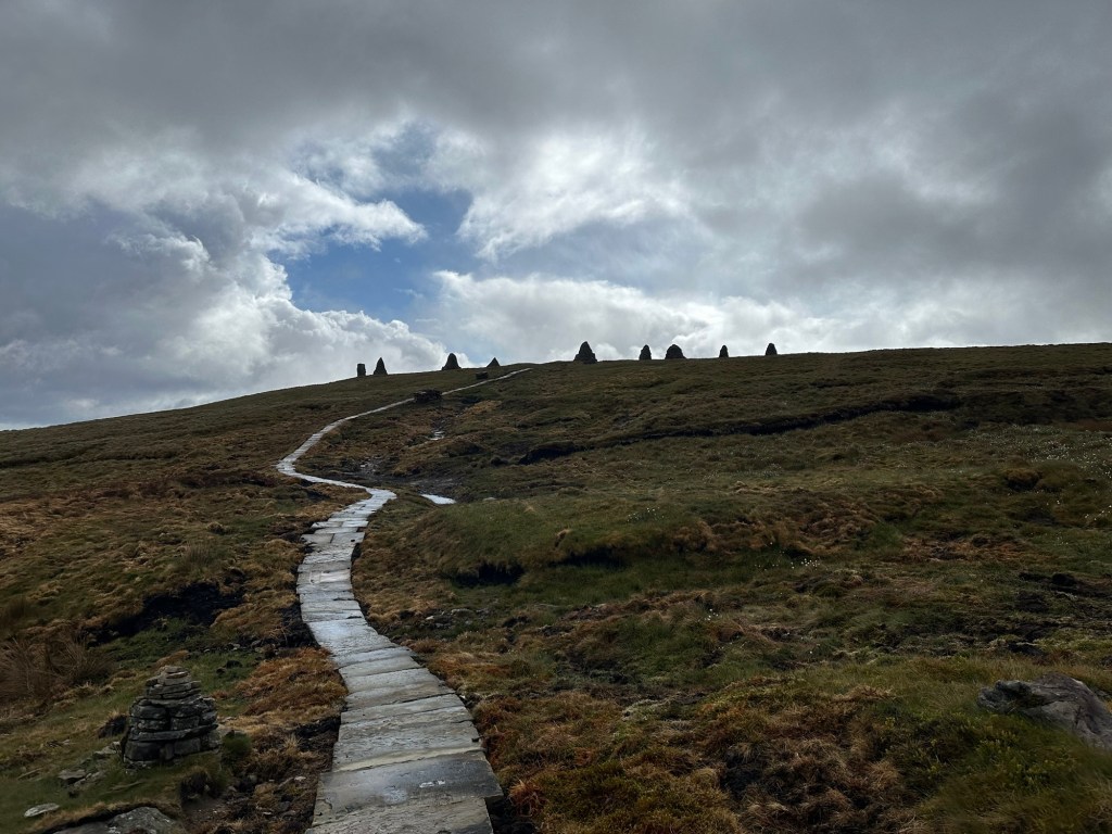
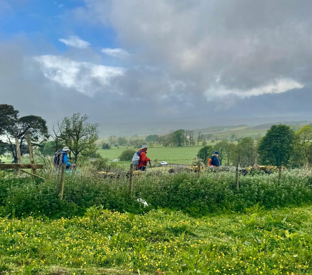
In the Dales, there is a section called “the Nine Standards.” In it are long sections of flagstone trail and more being built. Lots of the flagstones were repurposed; one had 1837 nicely carved on it and many had old iron fasteners embedded. The flagstones are there because when it rains a lot, it gets boggy, and walkers sink in. Some have to be rescued. In 2012, Ann saw a woman up to her waist in a bog and sinking. This gives “stay on the trail “signs more urgency.
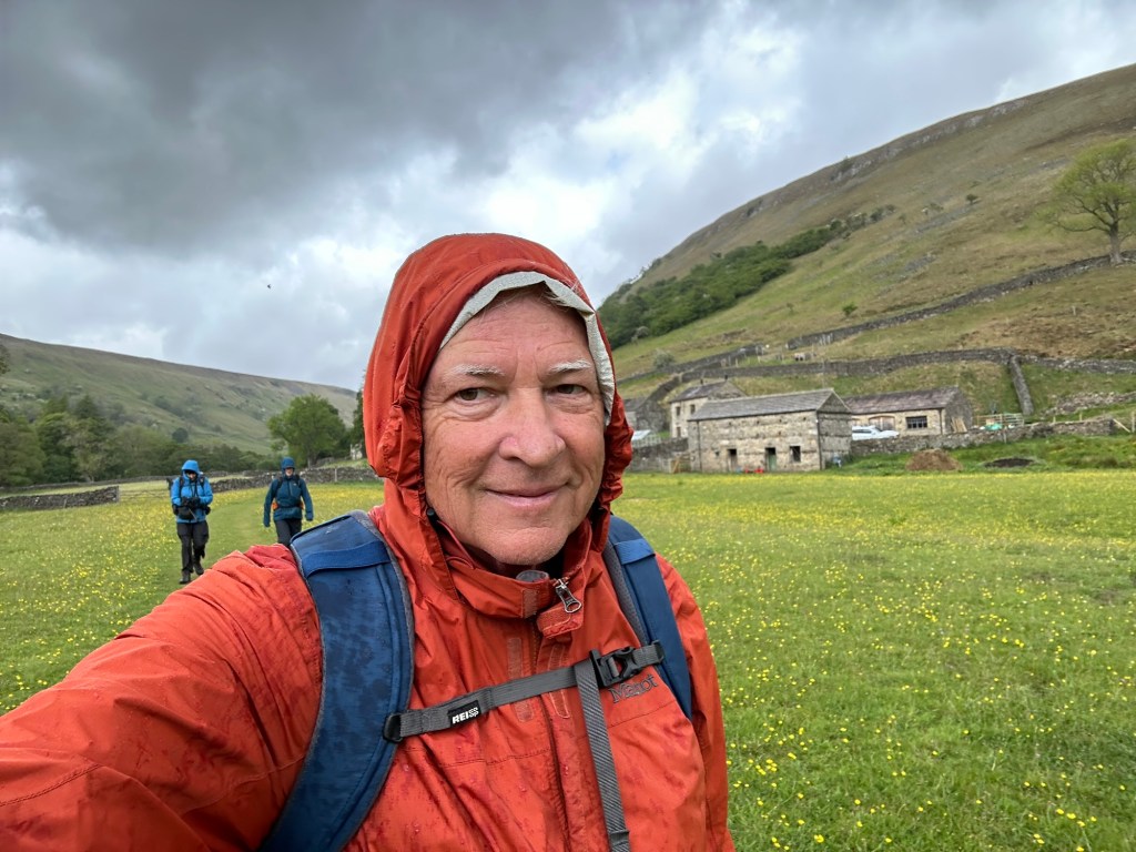
When I was there, walking solo in the early morning, it was raining sideways (a local told me that was the only way it rained up there.) Good rain gear is essential to your enjoyment and perhaps survival.
In the Lake District, a vacation destination for the upper income, when you are in a pub or inn, look under the tables. That’s where you will find the dogs, beautiful dogs with long ears and curly hair. Perhaps someday you will be able to rent a dog to lay at your feet.

In the Dales, to find the dogs, look for a farmer. If a farm vehicle comes by, you will see a farmer in a wool cap with a black and white border collie sitting next to him in the passenger seat. We had a great conversation with this friendly farmer and Panzer.
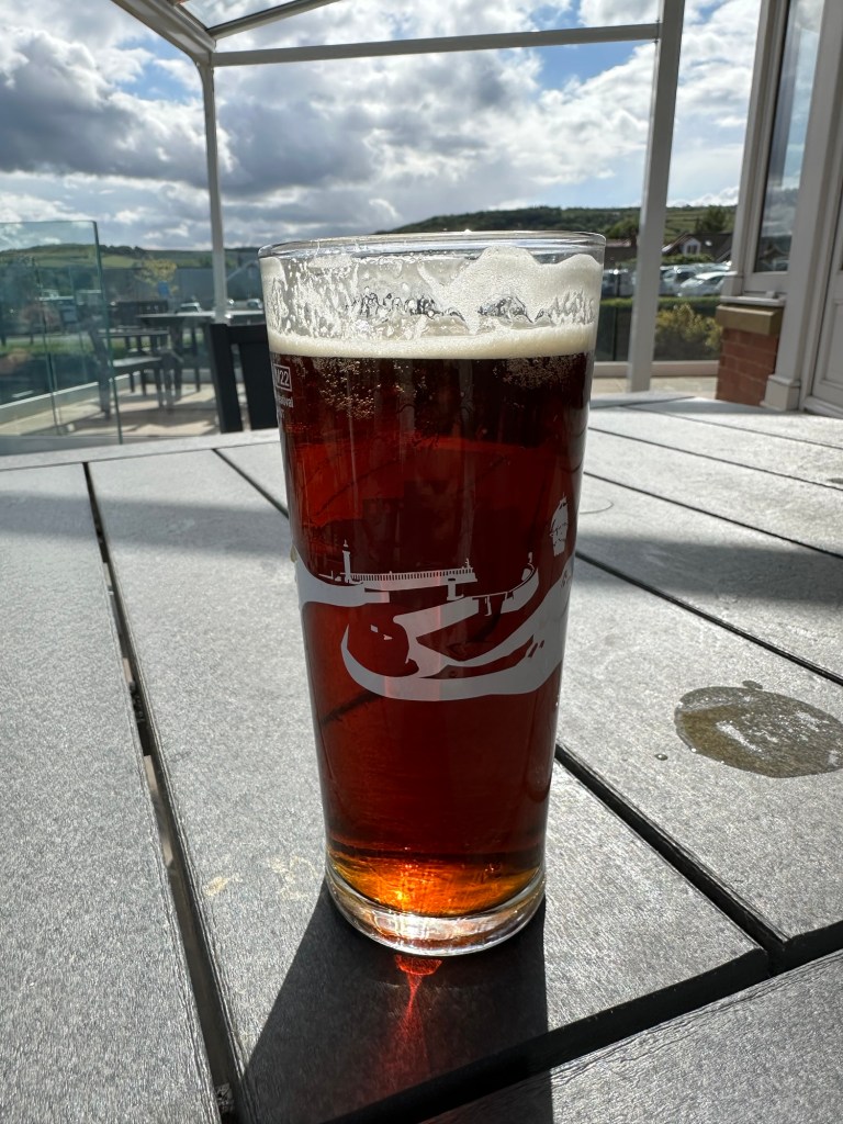
There is always beer. Out of curiosity, you will try all kinds of local beer with great names and labels, most around 3% alcohol, and without any distinct flavor. Eventually you may settle on Black Sheep or Timothy Taylor beer. Beer is offered in 1/2 pint and full pint glasses and the bartender will ask which size you want. I never saw a 1/2 pint poured, but they will ask you anyway. I heard about Old Peculiar Beer on the trail but the only time I saw it, the keg was empty.

I had enough full English breakfasts to last the rest of my life. I never did eat more than a bite of the black pudding. Otherwise, it was good fuel for a hard morning walk.
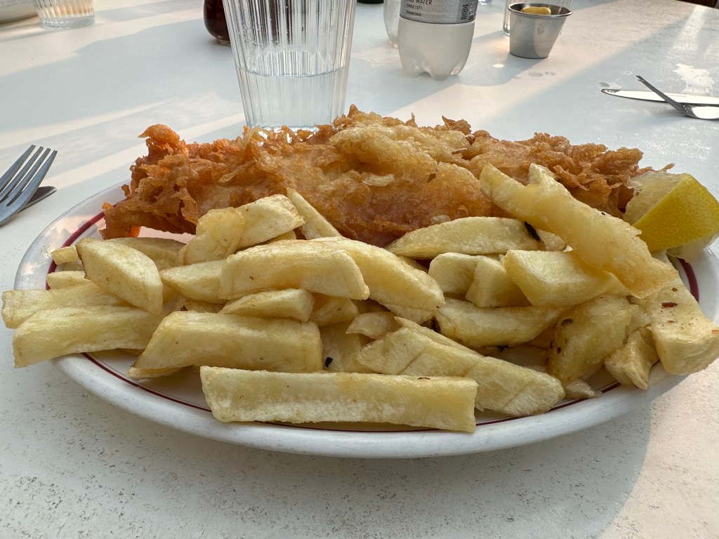
Pretty much everyone offers fish and chips, and sometimes it is very good. The best I had was in Chippy in Shap.
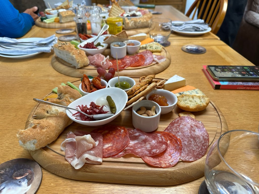
We stayed in a lot of different kinds of places, from youth hostels to hotels and inns, and this fabulous B&B near Patterdale. It’s a little farther than you want to walk to a pub or inn for dinner, so they offer this fabulous charcuterie board. This was probably the most beautiful place I’ve ever stayed. The hosts are wonderful and you can buy wool items at a gift shop run by mom.
We stayed at the Beak Hills Farm, B&B, which is an authentic farm stay. They have 200 sheep, but no longer run cows. But it’s a real farm, and she cooked a big meal for us. It was not fancy cooking, but it was authentic. Her husband had a collection of hunting horns, and played them for us. We had a very interesting conversation about hunting and farming in the Dales. Her mother started this business for walkers in 1976. They are very nice people.


The trail is well signposted and guidebooked (we used Cicerone and their GPS tracks). This trail is often done in 14 days but we took 16. We planned and made our own room reservations but hired Coast 2 Coast Packhorse to carry our gear. (Though I never needed what I had in that gear bag and could have made it fine with my 25 L daypack.)

We each picked up a stone from the Irish Sea beach and carried it to the North Sea beach at Robin Hood’s Bay.
There were five of us on this walk, and we made the plans in June and July just after completing Italy Coast 2 Coast. We all met on trails and have walked together before, except the other Texas guy. His initiation was walking the Camino del Norte the summer before, and he turned out to be a strong walker and great companion.
Another adventure in the books.
I know little about northern Belgium, but in the south, in Wallonia, spring is mild temperatures and only occasional rain. Here are some ways to enjoy this marvelous country.
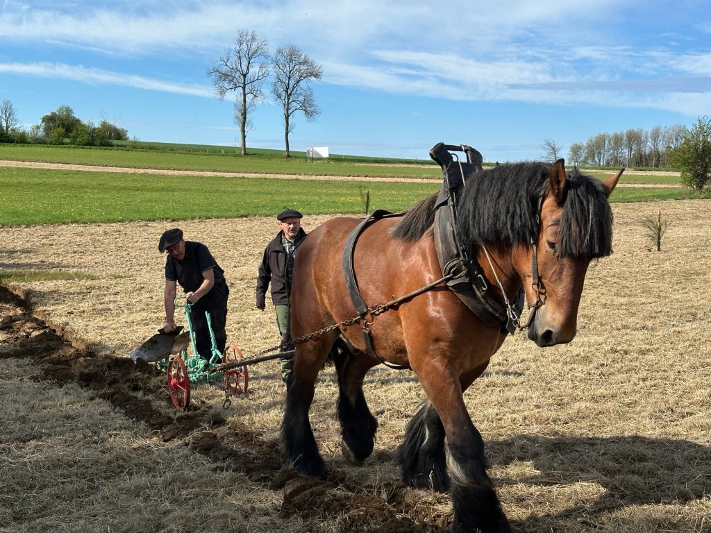
Just outside of the tiny village of Beheme, near L’Eglise, is a festival celebrating old farming traditions. There was a parade of old tractors, horse shoeing, demonstrations of plowing, and steak on the grill. You have missed this year’s fete, but there are many. Local tourism offices will help you find others.

Gran Feu de Vance
There are end of winter bonfires all around between February and April. They are big parties with music and lots of good Belgian beer. Our community bulletin listed these events .
These New Orleans style events are all around, also February to April. Carnivals often run for a week.

We do quite a bit of walking in the forest here. This is the forest d’Anlier, a part of the huge Ardennes Forest. There are trails and marked routes throughout. Walking in the forest is relatively speaking, less spectacular than walking, for example in the mountains in Wyoming. However, they are calm, quiet, refreshing, green, and at this point full of singing birds and flowers. We take these walks, leaving from our front door. We also end up going through fields and sometimes a nearby village.
Between Martelange and Bastogne is an old narrow gauge railway converted to a paved hike and bike trail called Revel. It doesn’t quite get into Bastogne, but comes close. There are numerous small villages along the 22 kilometer trail and the grade is up towards Bastogne, but not ever steep. A great day would be riding to Bastogne for lunch.

The Revel has quite a bit of interpretation along the way, about the railway, but also WWII. Near this place, the Hunters of the Ardennes unit of the Belgian Army faced down an overwhelming force of Germans. Their job was to slow down the German advance, which they did, at a loss of 26 killed and 30 prisoners.

The US Army’s biggest battle in Europe was the Battle of the Bulge, December-January 1944-45. Monuments and interpretation abound. They get a lot of Americans visitors here.
There is a community theater in a village just outside Bastogne which has a very different kind of program. We joined them for four presentations in four different locations around the village, connected by a walk of about 1 mile between each location. The play was a comedy, set in the village, And it ended, of course, with beer (Orval -a world class Trappist beer made nearby-$5, and sausages $5.) I didn’t understand all of the story, but it was just fun to be along.
Les Etangs de La Strange -Hompre (Vaux-sur-Sûre)
We had a long conversation yesterday on our bike ride along the Revel with the owner of restaurant where we had eaten dinner the evening before. He raises the trout, his wife serves them in a restaurant. I recommend it!
When I have visited Rome, I am surrounded by American voices. Here, I am the only American. The Belgian people are very friendly; here they speak French, up north it’s Dutch and English. There are B&Bs scattered all around and bike rental opportunities. Most medium size or larger villages have a tourism office. Walking trails and bike routes are well marked. Prices are about half what I see in Texas.
Yo visit this area, fly to Luxembourg, which is only a few miles away and also has lots of historical tourism. The entire country is the size of Gillespie County, Texas. There is a new tram circling the city which now also connects the airport to the central train station. All public transportation in this country is free.
Mount Lycabettus Pilgrimage
In Greek mythology, the goddess Athena was said to be carrying a limestone mountain to build the Acropolis, but was startled by a crow speaking to her, and dropped the mountain. She left it there, and eventually it was called Lycabettus Hill, or Lycabettus Mountain. It is 324 feet to the top, 909 feet above sea level, and the highest point in Athens. It’s name may have come from “where the wolves walk”. There was a temple to Zeus on the top for centuries, but about a hundred years ago the chapel of St George was built on it’s ancient foundation. It is now a popular tourist destination, and has a funicular carrying visitors to the top, where there are also a bar and a restaurant.
In 1966 there was only the trail and the chapel. I was in the 9th grade in the Halandri Academy, a high school catering to the children of American military and businesses men, with a few Greeks whose parents wanted them to learn English. One of those Greeks was my friend Haralabous (Harry) Bousberelis, and he invited me to spend the Easter weekend with his family. They lived in a high rise apartment building in a downtown location. In the 1960’s Easter was a big event, similar to Christmas in the US. On Good Friday his parents drove us to the bottom of Lycabettus Hill and dropped us off in a very busy place where the hike to the top started. The climb started in a pine forest. The paved trail was busy, and there was a solid line of people all the way to the top. It would have been a significant effort for many of the people there, but for a pair of 13 year olds it was not challenging. I didn’t know what pilgrimage was at the time, but for the thousands who climbed that evening it surely was a spiritual journey. By the time we reached the top it was dark, and small plaza outside the tiny Church of St George was completely full of people. Following tradition, we had candles with us, and soon a flame was passed from the candle on the altar to the crowd outside. We lit our candles and began our way down the mountain. The steady stream of pilgrims walking both up and down the mountain soon all carried lit candles, and I remember being awed by the sight of the candlelit zig-zag trail.
I don’t remember how we got back to Harry’s apartment; perhaps we walked or took a bus and I don’t remember much else about the weekend. On Sunday we had a big traditional Easter Sunday lunch in their apartment. I can imagine what was on the menu now, but I only remember one dish, because it was such a surprise to me. The family had been fasting, and Sunday was the end of the fast, and it was a huge meal. Harry’s big celebration was drinking a big glass of milk, all in one gulp, denied in the fasting of the prior week. A bowl of boiled potatoes cut into cubes came around to me, and they looked great, so I took a big helping. The shock was that the potatoes were cold, and coated in olive oil. I suppose it was the Greek equivalent of our potato salad. I ate everything, as I was trained to do; growing up in a family of seven meant that there were never leftovers, and you ate what was offered.
I remember another Easter weekend in the village where we lived, Glyphada, a suburb of Athens. There was harbor full of fishing boats and old sailing ships, and a large paved plaza with a stone dome-shaped church. The plaza was full of people, and at midnight on Easter Sunday morning men emerged from the church carrying a litter with the statue of one of their saints or relics. They were followed by a band of sorts, and there was singing and chanting, and people were greeting each other in the traditional Greek Orthodox manner: Χριστός Ανέστη (Christos Anesti), Christ is risen, to which the response was Αληθώς Ανέστη (Alithos Anesti), He is risen indeed. This tradition continued in my family for many years. There were also hard-boiled deep red colored eggs, which you would crack open by tapping your egg into that of another person and making the statement of faith. There were fireworks and joviality and energy, and I have wondered since if there wasn’t also a good deal of ouzo or wine. Another Easter Sunday tradition was barbequing a lamb, which we did at the house of some Greek friends, in their front yard, over a barbeque pit dug into their bare earth front yard, using a spit made from some branches of a tree in the yard. We turned the spit often and basted the lamb with melted butter and lemon juice. The home was quite modest and most likely the residence of a Greek Evangelical Church pastor named Kiriakakis, my dad’s best friend among the Evangelical pastors. The state sponsored church was Greek Orthodox, so the Evangelicals were the outsiders, the equivalent of protestants, and were a small but enthusiastic group.

I have participated in many Easter traditions in the years since, but none have come close to the energy and enthusiasm of the Greeks. I believe these traditions have as much to do with community and spirituality as any particular religious belief, and I hope some of this still exists. However, as I write this in Belgium, here these traditions are disparu, disappeared, lost in a single generation. I have never liked the greeting “Happy Easter”; I see Easter as a time of reflection, a call to consider the larger picture of my life. How did I get here? Where am I headed? What is truly important?

I’m on a two week visit to Hawaii, being hosted by my sister, who lives in Honolulu. I have never been to any of the other islands when I visited Adele, and this time Josette is with me, so we planned to go to the big Island of Hawaii to see something different.
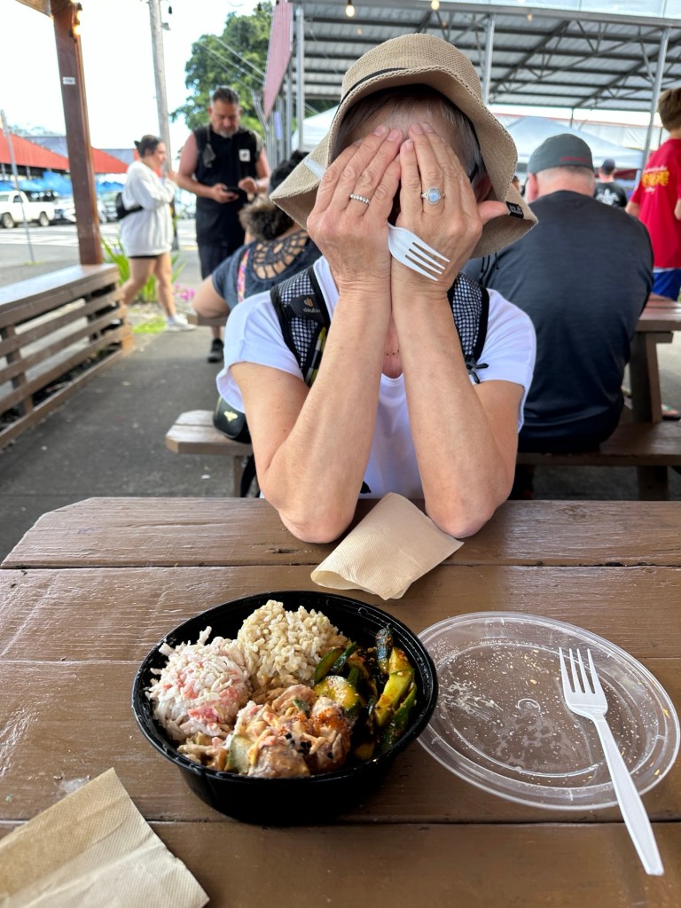
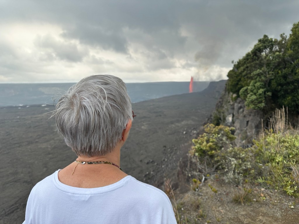
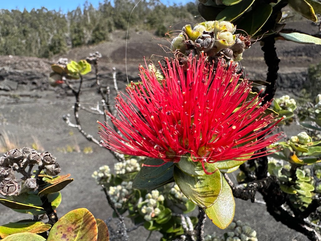
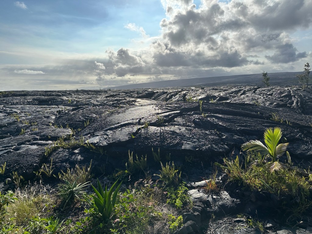
We stopped in Hilo for some lunch, a bowl of poke which we shared. We did a little bit of souvenir shopping at the farmers market, and bought some fruit. Then we drove to Hawaii Volcanoes National Park, When we got to the entrance, I was surprised to see cars waiting in line to get inside, and the staff at the gates were waving people through without stopping for payment.
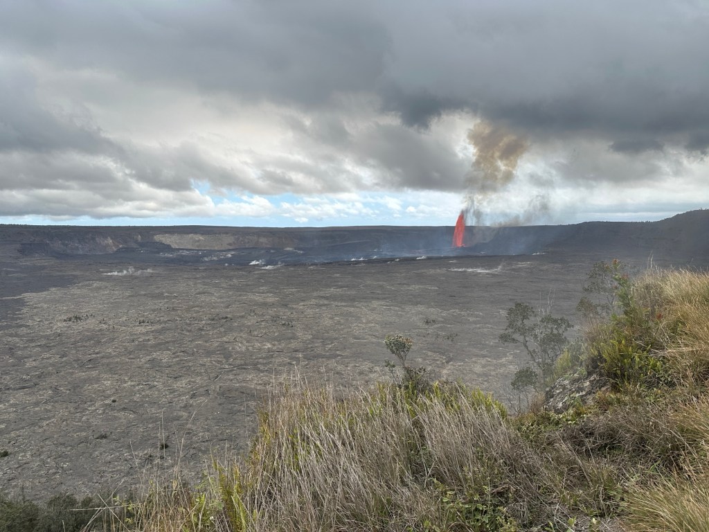
There were cars parked all along both sides of the road in the ditches, but we waited till we reached the parking lot and found an empty space. We followed a large crowd, hurriedly walking to the crater rim. And there it was, a huge column of smoke and red/orange molten lava pouring out of the Earth in a gigantic fountain. Until that point it had not occurred to me that we might be about to see the volcanic eruption.

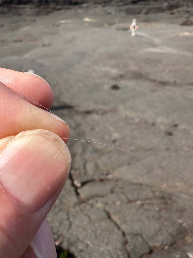
After a few minutes, we walked on the crater rim trail toward the eruption. As we got to the point where the trail was blocked, we could feel tiny volcanic rock pieces falling on us, as well as Pele’s hair. It wasn’t volcanic ash, it was very small, black grains of volcanic rock. I’ve never heard of Pehl’s hair before but now I know; It was all over us by the time we got back to the car. These long, thin slivers of silicone are produced in the cloud and they look like hair and are sharp and will stick you like a tiny cactus thorn. By the time we got back to the beginning of that trail near the visitor center, it had been closed.
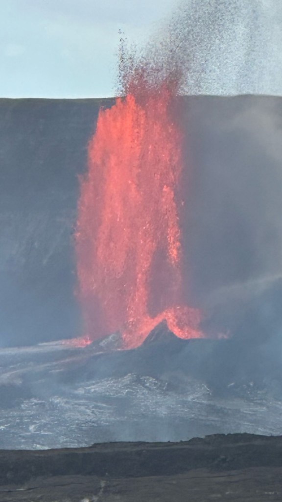
The volcano roared loudly and the shape of the fountain changed. I learned later that during the afternoon it was running between 700 and 1000 feet high. The next day I met a guy who is a retired Geologist from California, and he had been watching the volcanoes activity closely on the USGS website, and took a guess about the eruption and came the day before. I learned a good deal from him about lava as well, the two types, the very rough lava ʻa‘ā, and the ropey smoother lava: Pāhoehoe.
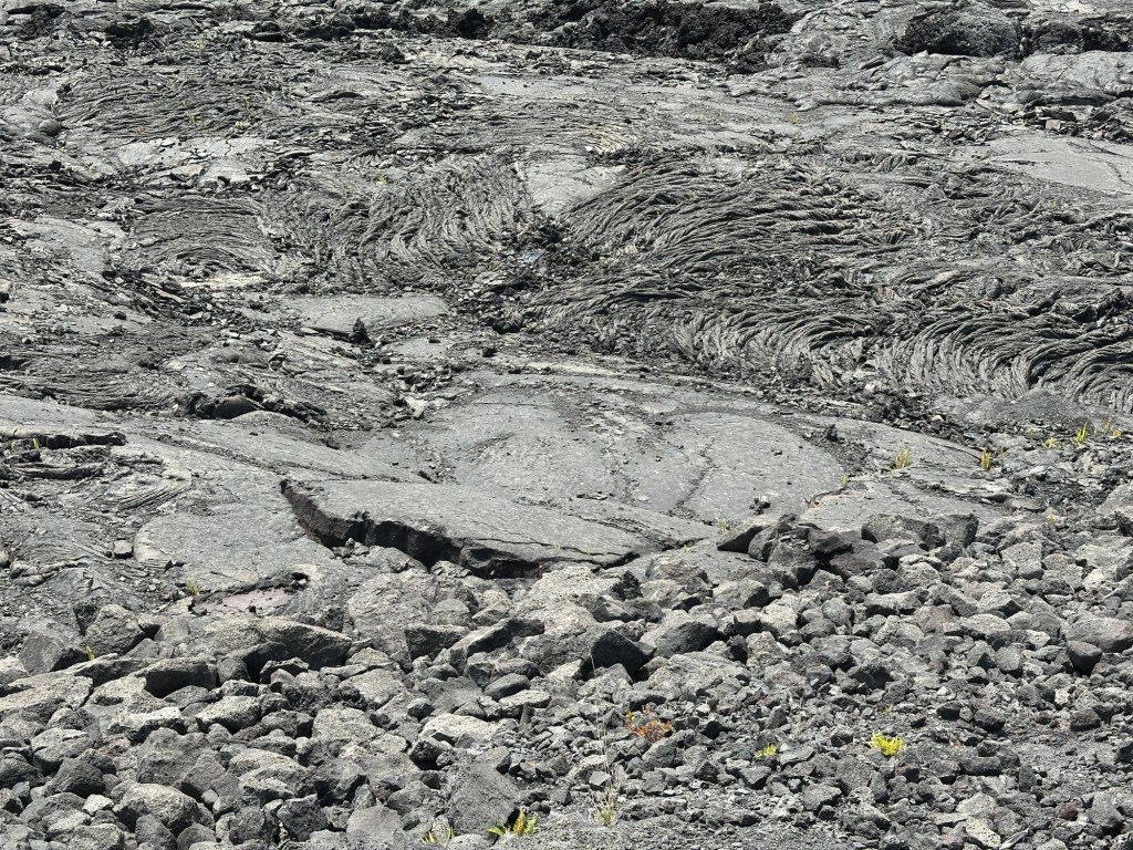
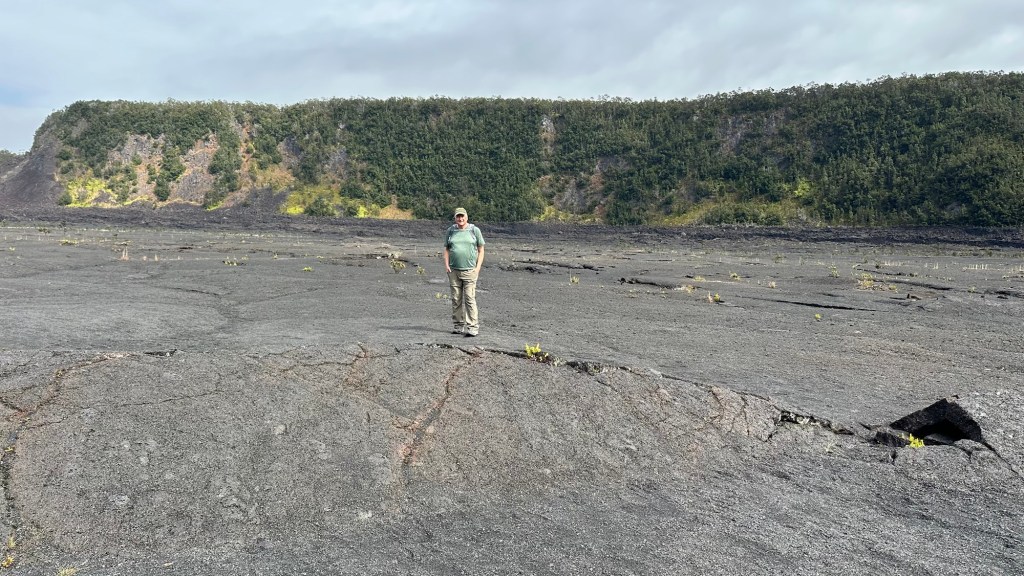
The following day we went back and walked the Kīlauea Iki trail across a quieter part of the crater floor. It was altogether a surreal experience.


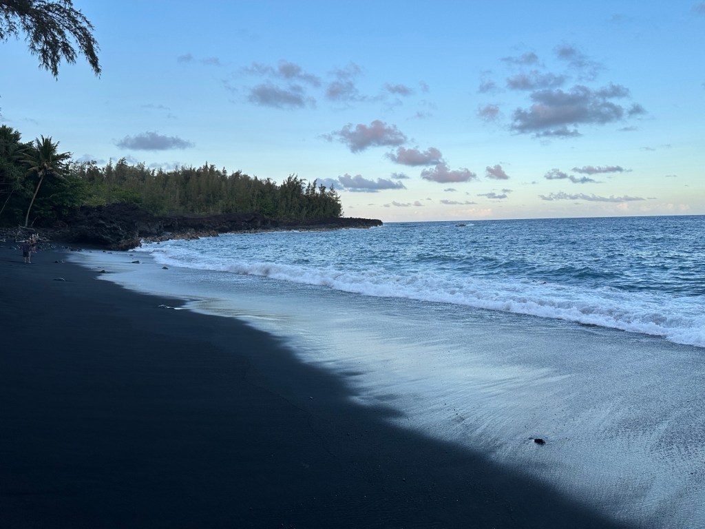
That evening, we found a black sand beach about 6 miles from Airbnb on the South Shore of the island, took a very short swim, as I got, knocked down by a wave and decided that was far enough. We watched the sunset there, and on leaving by a different trail at the far end of the beach, I asked a woman for directions to the trail, and I tried to ignore the fact that she was completely naked. And that this was just normal every day stuff for us.
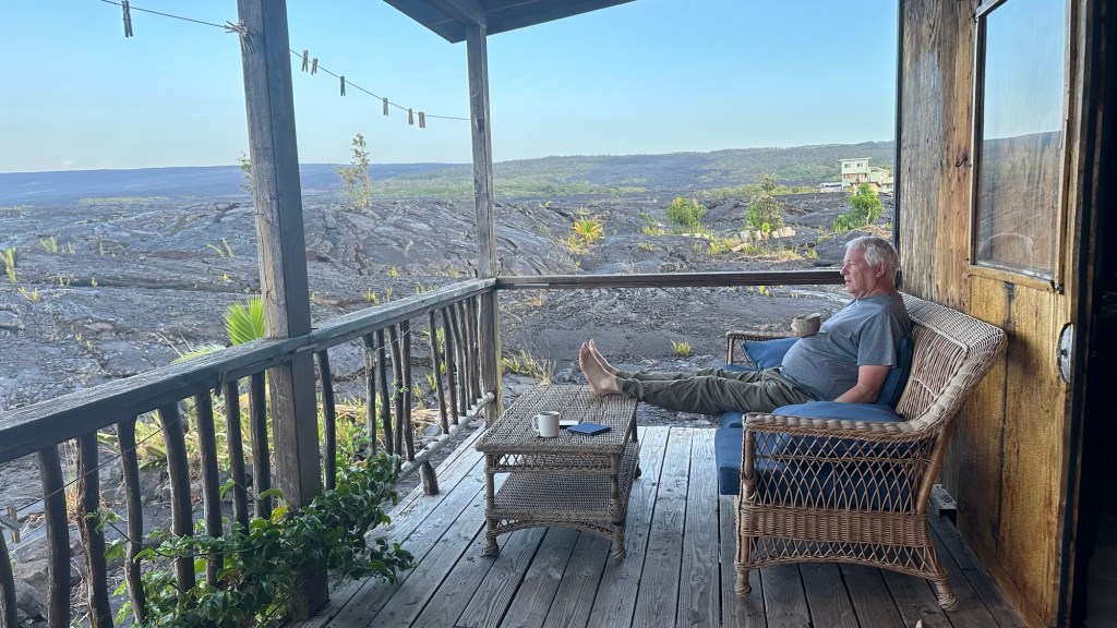
Our B&B was situated on top of an old lava flow, and quite a bit different than what we’re used to. They have five rooms and a communal kitchen, and everything worked, although it is in a bit of disrepair. however, it’s quite inexpensive, $65 a night, somewhat less than the average hotel room of $350. Josette said I made a great choice and enjoyed the location immensely. We had coffee in the morning, looking out over the lava flow.
Here are some other parts of the big island:


iCloud links to volcano videos:
https://share.icloud.com/photos/01flX-fM8ZuPYhHmOvcRjr5ow
https://share.icloud.com/photos/0901hvB8ew2xiJDn04fOAqr_A
https://share.icloud.com/photos/0e0Qkif0HGaAnRn_SyeyQFZLg
https://share.icloud.com/photos/021iPR6pNYxqWNPDjWPByLnaA
More to come on Hawaii.
Robert
As we have been driving around southern Belgium over the last few weeks, Josette has pointed out sites for grand feu in area villages. The bonfires are under construction, with piles of wooden pallets and a random assortment of logs, scrap wood, and Christmas trees. In nearby Habay, the market town we frequent for groceries, bread, sausage, cheese, chocolate, French wine– the necessities of the good life – the grand feu will be at Place de la Liberte, a parking lot at the edge of town where I’ve seen buses, large equipment, a street market, and a festival with carnival rides.
The Leglise Bulletin Communal arrived that day in the mail, and I looked to see what events were on the calendar. Leglise is the center of the Commune de Leglise, which comprises 28 villages, and is where local government services – water, sewer, trash pickup, electricity – are managed. We once went to the Maison Communal in Leglise to get Josette’s passport renewed; it was quite fast and inexpensive compared to the US.
I looked over the calendar of events in the Bulletin. There was a Saturday event called Repair Café to which you could bring broken things for repairs. There was a library book sale, and several group bike rides, runs, and walks. And, there were five grand feu listed over the next month. I was intrigued, and pressed Josette for more information. One of those grand feu was in Ebly, which was a name I recognized because the recycling center we use is on the road to Ebly. It was set for 7:30 that night, with hamburgers and drinks for sale. I was surprised that Josette had never been to one; for her, they were just drinking parties. For me, its something purely Belgian.
We left the house at 7:00 for the 20-minute drive to Ebly; it was only 8 miles away as the crow flies, but the road isn’t fast or direct. We didn’t know where it was, but we ran across an older man walking through the village. I stopped the car, rolled down the window, and asked him where the grand feu was. He didn’t understand me, so Josette got out of the car to talk to him. He did indeed know where it was – “Keep going straight, just under a kilometer”, he said. We thanked him and he said, “Don’t drink too much. And don’t get burned.” We all laughed.
There were only about a dozen cars there when we arrived. The grand feu was set up in a large field, surrounded by barrier tape set back a safe distance. Adjacent to the bonfire was a tent enveloped in disco music, a bar, and a grill with hamburgers cooking. The workers were all young and wore lavender-colored sweatshirts with CDJ Ebly written on them. I asked the bartender what that meant. “Club de Jeune, Ebly (club of young people in Ebly). He told me I needed a jeton (token) to buy a cup of hot wine. The young man with tokens spoke to me but I didn’t understand what he was saying; sometimes accents in the area throw me off. There are lots of X and Ch sounds not used in the French across the border just two dozen miles to the south. Finally, we decided on a 2 Euro token, and I exchanged it at the bar for a paper cup of hot wine. Josette tasted it, and to my surprise, kept it and told me to get my own. It was red wine (tasted like Merlot) seasoned with canelle (cinnamon). Seeing the hamburgers coming off the grill I regretted having already eaten dinner. We soon met a young mother with a lively puppy and Josette had a long conversation with her about the dog, a Bouvier Bernois, which was only six months old, with black and brown curly hair, and destined to be well over 100 pounds. Many more people arrived, most of them young, some walking, and there were lots of children. Just after 8:00 PM an older man lit a torch and handed it to a young couple. The tradition in Ebly is that the last couple to be married the year before had the honour of lighting the fire. The wife was very pregnant and she let her husband set fire to the immense woodpile.
We watched as the fire grew from some isolated places around the circular woodpile into an inferno. The bottom layer was constructed of wooden pallets, allowing air to come into the bottom of the fire, and smoke and flames were soon billowing up into the clear night sky. There were lots of old Christmas trees and on top of the twenty-foot-tall pile was an effigy. I went up to the older man who had lit the torch and asked him if he was the “chef de la grand feu”. He laughed and said no, and indicated a young woman who was with the group. “She is the leader of the club, it’s her fire.” I asked about the effigy – it has several names, including sorcerer and witch, and represents winter being chased away by spring. It may have deeper roots than that in its medieval or Celtic history. The effigy was also a personification of evil being banished from the village. There were several women standing by him, and we had a conversation about the event. He didn’t know how far back the tradition went, but he first attended as a knee-high child. He offered me a beer, a Jupiler in a bottle – you could buy it by the half case at the bar. Until today I thought Jupiler was Jupiter. It is a lager, the Belgian equivalent of Bud Light. I declined, only because driving back at night on rural roads was going to be tricky. The women said the best grand feu was in Mellier, as it was very tall. We know Mellier, we are in a walking and cycling club which begins and ends events at the old train station in Mellier, and it is also in this Commune.
I was certainly the only American at this event, and perhaps, the only American to ever attend the grand feu in Ebly. The crowd was decidedly local people, country people, small town people, happy people, friendly- typically Belgian people.
This afternoon Josette and I went for a 4-mile walk through the forest, picking up beer cans along the road as we walked. As we took a dirt road back toward the village, we saw a deer stand and decided to take a break for some contemplation. Stopping for some contemplation on these walks is a new thing for us, coming out of a conversation we had the day before. The deer stands here resemble giant armchairs, and we climbed up the steps and sat on the wide bench together. I have been thinking about my future, and what I wanted out of life, and this came to me: I want to be as good a Belgian as I can be, as good a companion as I can be, and true to myself.
I am not Belgian, but I now have a one-year visa from Belgium, and my plan is to be a local, not a tourist. In my hometown in Texas, I am not a local – you have to be born there for that– I am and always will be an Auslander, even after 33 years of being deeply involved in the community. And that is OK, its really just something of a joke now, as the town has been run by Auslanders for 25 years now. (I can make a good case for that, but not today.) Do you remember the popular song, Turning Japanese from1980? Belgians have been very welcoming to me. I think I’m turning Belgian

On the first Saturday in June, I completed the Italia Coast 2 Coast Trail with a group of 8 friends. We were together for all of the 18-day trip, sharing the day from breakfast, through the walking, dinner, and sometimes lodging. At our last dinner together, in Orbetello around a long table, were Guiseppie and his wife Laura, both fluent English speakers; Irish Ann Marie, a strong walker with a wicked sense of humour; Gayden, a tall and blonde attention getter but also a strong walker with an eye for a very good photo; and David and Barbara from Missouri, who I walked with in Hungary/Slovenia/Croatia, and with David in France. Guiseppie stood to make toast: “Sepp,” as his wife Laura calls him, had been an Italian Air Force Pilot who flew F-104’s, among other things. We’ve walked together on three trails in Italy. He thanked us for coming together to experience their country and culture and announced that he had arranged to pay for the dinner. Our protests were to no avail, so we ordered another bottle of wine. The dinner was emotional as it was delicious. The next morning, we all headed in different directions. Sepp and Laura went home to Verona. Ann Marie flew back to England from Pisa. Gayden went to meet friends in Cinque Terre. David and Barbara went to Pompeii. It was over.
I took the train into Rome, arriving in the afternoon. The Roma Termini train station is enormous, and I went out the wrong side of the building and then walked around the enormous station to my hotel, which turned out to be across the street on the opposite side. The hotel was old but decent and under $100. My flight to Luxembourg was at 8 PM the following evening. I found dinner and went to sleep early.
In the morning, I checked out of the hotel and put my backpack into their luggage storage room. I’m not a great tourist. What would I do with a free day in Rome? I spent three days with Josette in Rome sightseeing a few years before; the Forum Romani and Coliseum and the Vatican Museum were places I didn’t need to see again. I already have a photo with Josette in front of the Trevi Fountain. It was not even a selfie; one of the thousand or so tourists around us took the photo. The weather was lovely, so I just wandered around for a while. I sat on a park bench and watched people walk by. I got coffee and a croissant at a café with tables in a park. When it was time for lunch, I stopped in a replica of an English Pub. I had seen signs pointing the direction to it, and I like English pubs. Besides, I’d been eating in Italian restaurants for three weeks. I got a pint of ale and ordered lunch. Sometimes I take photos of meals so I can remember what was served, but in this case I didn’t – quite likely it was fish and chips. While I was waiting, I searched on my cell phone for “things to do in Rome.” I found a reference to a museum which sounded interesting, so I put the location into Apple Maps for walking directions.
Following walking directions in a city can be tricky because tall buildings often block signals from the GPS satellites. The route took me down major streets lined with ground floor retail and upstairs residential, past restaurants and shops, bus stops and coffee shops, along crowded sidewalks, and through small parks. Although it was busy, it wasn’t quite as crowded as in the old city touristic areas, with their piazza and fountains. The tourists in those places can be elbow to elbow crowds stretching from one side to the other in the smaller streets. My hometown has a lot of tourism, but to handle the number of tourists one sees in Rome it would be necessary to do as the Romans do and close Main Street to cars because that space would be needed for the people and the tables of the bars and restaurants spilling out into the street. (Not a bad idea, eh?) Then the map indicated a left turn onto a narrow and winding cobblestone street with no sidewalks and buildings close together. Not far down the street I heard music coming from my right.
I turned my head toward the music and saw a church. Usually, old churches stand out from the buildings around them, but this one was fitted between tall apartment buildings, with a tobacco shop on one side and storefronts on the other. The church front was Baroque style, quite a bit different than the austere apartments surrounding it. There was a poster that was affixed to the door. I took a photo of the poster and used Google to translate the text to English. The church was hosting a three-day series of organ concerts! Once inside I looked over a display about their organ, which was apparently famous. The church was built in the 15th century and wasn’t all that big with the large and complex organ console in front of the altar and a little to the left. The pipes were arranged above the door I had just entered with a gallery on either side wall. The organist was seated at the console with his back to the congregation. There were a few other people inside the church listening to him play. I took a seat near the front. The scene in front of me was a bit overwhelming; there was lots of gold and a huge painting behind the altar, which was flanked by four tall gleaming columns of serpentine purple and white marble. Light streaming through colored glass windows flooded the space with yellows and blues and reds and greens. The walls were ornately decorated with gold accents. Painted statues and ancient paintings lined the walls, each telling their story. I turned to fix my attention back onto the music. From the program listing on the poster, I decided it was a composition by Chopin. This was by deduction; the other composers on the program were J S Bach and a Gothic piece. The church’s official name was Saint Anthony of the Portuguese of Campo Marzio. Its common name was the Portuguese Cathedral, and it served the area’s Portuguese community. Today’s organist was Polish, as was Chopin. I listened for the next 45 minutes. Most of that time I was the only listener. The music was romantic and lyrical, it swelled and diminished, was melancholic and introspective, and sometimes the huge pipes created sounds I could feel in my body.
The organist finished his program, put the score in a leather satchel, stood, and walked out the front door of the church. The concert, like my walk, was over.
I went back outside to the street, trying to understand the impact of the music, and the church, on me. I thought about a Portuguese fisherman who might have been there five hundred years before. I wondered what he might have thought, immersed in art, color, gold, and the rich smell of incense. The music from the organ could have been the loudest sounds the fisherman had ever heard. I wonder if he would have thought the music was the voice of God.
Perhaps it was.
